Click on thumbnail image for a larger view
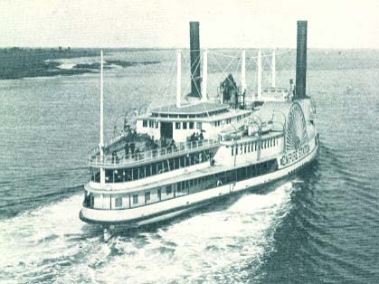
Empire State
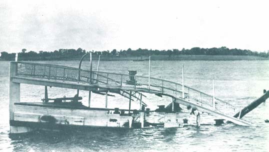
(Bill Carter collection)Empire State
sunk at Bristol dock
(Bill Carter collection)The table below provides historical and statistical data on the vessel. Some of the information may be incomplete. If you have additions or corrections, please e-mail us at the address listed below.